Bucharest: Between North and South
Function: Urban regeneration strategy
Site location: Bucharest, Romania
Year : 2013
Institution: TU Delft, European Postgraduate Master in Urbanism
Brief description of the project:
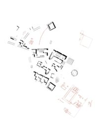
Bucharest, like many other cities, is a divided city. This urban divide is described here as the result of a dense historic stratification of unfinished urban projects, in terms of current socio-economic processes, and related to the conflict between the structure of the city and its wider environment. Rather than targeting the less developed half of the city, the proposed strategy addresses the area of interaction between the two sides: the valley. Born from the former floodplain of river Dâmbovița, today canalized and crossing Bucharest’s very centre, the valley is structurally defined in the West-East direction, while the three case studies show the details of the intervention meant to improve the integration between North and South. The work is concluded with a reflection on the possible wider effects of the intervention and initiates a debate on how the structure of the city might change into a configuration that has a more synergistic relation with the territory.

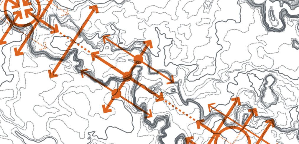
Relative scale distribution of urban islands sizes across Bucharest. Observe the difference in scale between the West-Est axis crossing the city and the rest of the compact city. (Source: GIS processing of road axial map)

Urbanization of Bucharest (Source: drawing based on Urban Atlas)

North-South profile (Source: Jones Lang LaSalle, Bucharest City Report)

Possible structural transformation

Morii Lake: 1. Existing structure: Existing local cross connections are weak, due to the site`s peripheral position in the city. Still it is well connected to the second ring and the road/public transport axis along the river; 2. Propposed structure: By transforming the lake into a destination and by integrating it into the general structures of the strategy, local connections are encouraged in the proposal

Vacarești Lake

Dambovița River:1. Existing situation; 2. Proposed situation-section (simulation), 3. Proposed situation – pavement (simulation)

Dambovița River: Between North and South

Urban Delta – Vacarești Lake

Sketch – Dambovița River
Institutions or courses attended: IMUAU Bucharest, Faculty of Architecture; TU Delft, European Postgraduate Master in Urbanism
Tutors: Daan Zandbelt (TU Delft), Bernardo Secchi (Universitá IUAV di Venezia)
Author: Claudiu Forgaci